
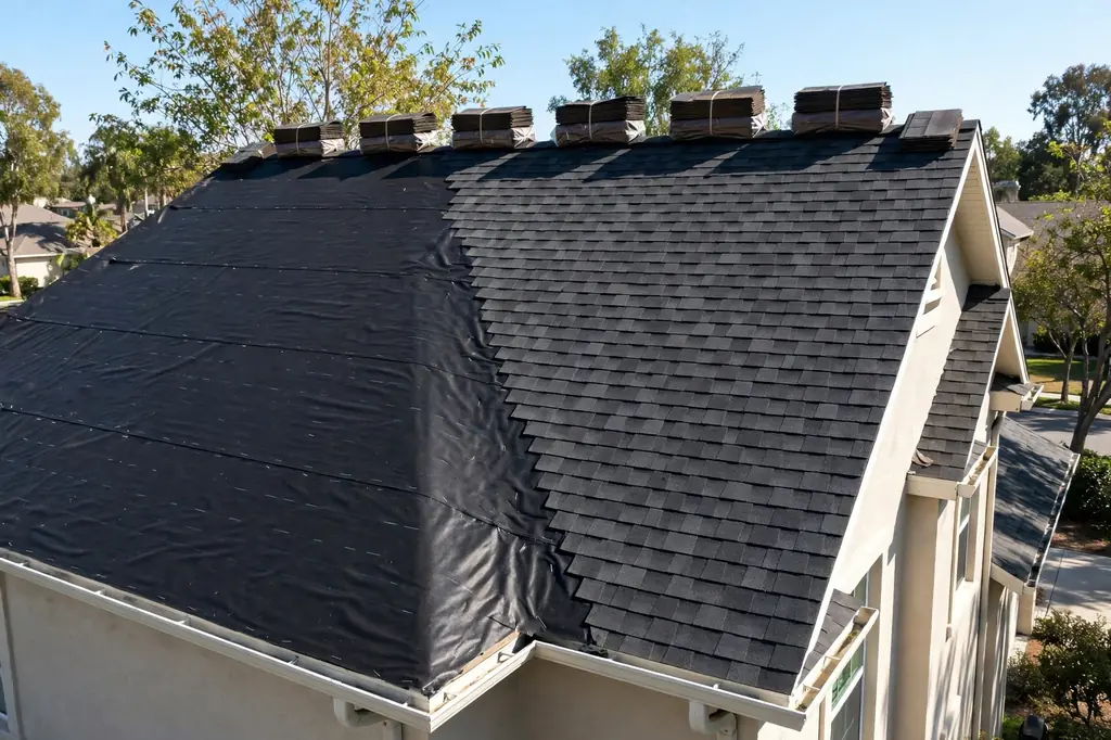
River bend · Near Notre Dame
North Shore Triangle Roofing: River-Bend Stock With a Flood History
North Shore Triangle roofing has to hold two things at once: vintage stock spanning the early 1900s to mid-century ranches, with the balance between them unverified, and the flood history documented in the most detail in this site's research, from 2016 and 2018. No City or association boundary was found. Call (574) 901-6308 during business hours to talk through one house, its era, and its water path.
River-curve neighbourhood
North Shore Triangle roofing: drainage paths, not covering alone
North Shore Triangle roofing is a drainage story as much as a covering story, and the flood history is why. This river-curve neighbourhood, also written Northshore Triangle, sits about a mile from Notre Dame, stated as a geographic reference only, and near Memorial Hospital, on Angela Boulevard, Marquette Avenue, and Parkovash Avenue. The era evidence conflicts four ways and is reported as a conflict: a median build year of 1929 in one portal and public-records source, 1959 in another portal and census source, a developed-in-the-1950s-and-60s framing in a Realtor blog, and a first-half-of-the-1900s framing, leaving vintage stock that spans early-1900s Cape Cod, Tudor, and Craftsman bungalow forms through mid-century ranch, with the balance between them unverified. The flood history is documented in dated detail: the neighbourhood was among the most affected in the 2016 and 2018 floods, with sewage backup into basements, the river cresting at 12.7 feet on 21 February 2018, and backwater gates installed near the neighbourhood afterwards. Any flood-zone statement for a street here requires a check of the FEMA flood maps, which has not been done for this page, so no zone is stated. On the historic side, a district was listed as eligible in a 2012 presentation and was not listed, and whether the West North Shore Drive local district from 1978 overlaps this neighbourhood is unverified, so no overlap is claimed. Roof details for this neighbourhood were not found in public sources, and no roof form is inferred beyond the general pitched forms the housing styles suggest. The honest focus, given the flood record, is drainage, grade, and downspout pathways, not roof covering alone. For that education, see downspout installation, gutter installation, and why water drips from a ceiling after rain, and for the other flood-history neighbourhood see Keller Park roofing.
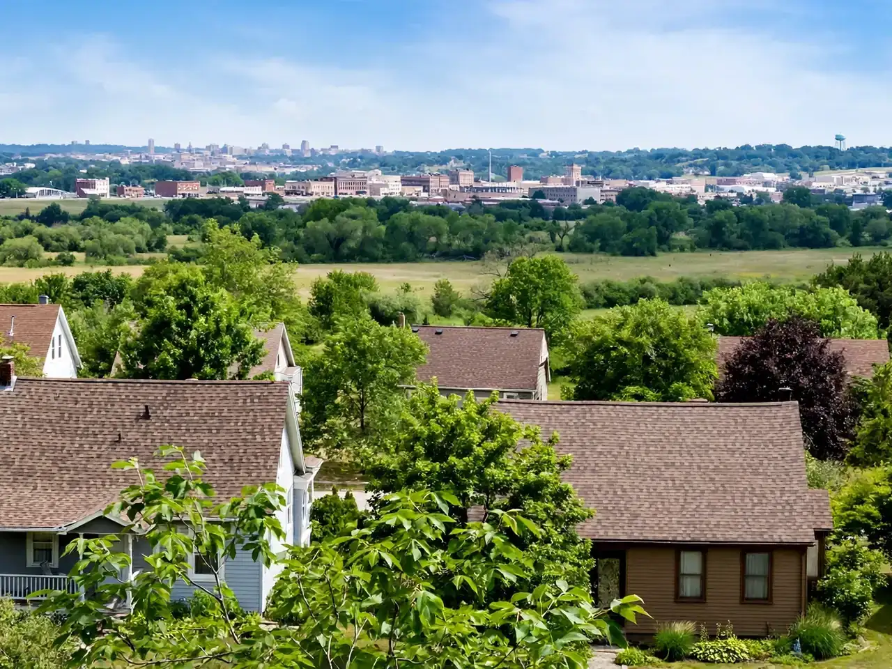
Services for the North Shore Triangle
Roofing Services in the North Shore Triangle
The services below lead with drainage, because the flood and sewer-backup history makes the water path the first question. Roof work and drainage work belong in the same conversation here.
01
Downspout Installation
Downspout installation, including the downspout-disconnect ordinance education with its enforcement caveat. Where roof water goes after it leaves the eave is the central question in a neighbourhood with this flood record.
View service 02Gutter Installation
Gutter installation, including the gutter-guard section with modest claims. Gutters are the first link in the drainage path, and their condition decides whether roof water reaches the downspout at all.
View service 03Gutter Repair
Gutter repair as a distinct service from installation and cleaning. A failed joint or a sagging run sends water to the foundation line, which is the path the flood history makes central here.
View service 04Roof Repair
Roof repair scope, kept honest, with no invented thresholds. A repair conversation starts with the specific sign on the specific house, across a stock that spans early-1900s forms to mid-century ranch.
View service 05Roof Inspection
Roof inspection in three use cases. With the era balance unverified and no roof survey found, an inspection is how general statements give way to facts about one house.
View service 06Roof Replacement
Roof replacement education, including permit and code education on the replacement page. A replacement question here also raises the drainage question, because the covering and the water path are one system.
View serviceEvidence first
What the Sources Support About the North Shore Triangle
This entry pairs dated flood evidence with an unresolved era conflict, and the notes below keep both at their proper weight. General education on recurring check points appears on the roof maintenance page.
The era conflict is reported whole: median build years of 1929 and 1959, a 1950s-and-60s development framing, and a first-half-of-the-1900s framing. No single framing is adopted, and the balance between early-1900s forms and mid-century ranch is unverified.
The flood history is dated and specific: among the most affected neighbourhoods in the 2016 and 2018 floods, with sewage backup into basements, a river crest of 12.7 feet on 21 February 2018, and backwater gates installed near the neighbourhood.
Any flood-zone statement requires a check of the FEMA flood maps. That check has not been done for this page, so no zone designation appears here, and no vendor zone claim is republished.
No City or association boundary was found for the North Shore Triangle. The neighbourhood is placed by its river-curve position and its three named streets, and no authoritative line is drawn or described.
A district was listed as eligible in a 2012 presentation and was not listed. Eligibility is not listing, and no district claim is built on the presentation here.
Questions, not findings
Roofing Questions in the North Shore Triangle
Drainage, grade, and downspout pathways after the flood record
Era balance unresolved: early-1900s forms to mid-century ranch
Sewer backup history and where water goes
District overlap unverified: no review step assumed
Signs worth a call
Signs a North Shore Triangle Roof Needs Attention
Water at basement level after rain raises drainage questions that start at the roof and run through gutters, downspouts, and grade. The 2016 and 2018 sewer-backup history makes this the first sign to take seriously here.
A ceiling stain that reappears after patching usually means the entry point is still open, whatever the covering looks like. On Cape Cod, Tudor, and Craftsman bungalow forms, dormers and steep pitches add flashing lines worth checking, stated generally.
Covering lifted or lost to wind leaves the underlayers open, on either era of house here. The stock spans early-1900s forms to mid-century ranch, so wind signs are read house by house, not against one expected roof.
Granules appearing in gutters or at downspout outlets signal shingle aging. No street-level age survey exists for this neighbourhood, so the sign is listed as something to check on the specific house.
Overflowing gutters during rain point to blockage or capacity questions in the drainage path. In a neighbourhood with this flood record, a gutter sign is also a basement sign, and it belongs in the same conversation.
Anchors named in public sources
North Shore Triangle: River Curve, Streets, and Flood Record
The anchors below are the ones the sources name. They place the neighbourhood, without drawing a boundary around it. The Near Northwest umbrella covers the blocks to the south.
St. Joseph River curve
The river-curve position that defines the neighbourhood's setting. The river crested at 12.7 feet on 21 February 2018, a dated fact in the flood record.
Angela Boulevard
One of the three named streets, forming the northern reference for the neighbourhood. No boundary line along the street was sourced.
Marquette Avenue
One of the three named streets. Its houses carry the same unresolved era balance as the rest of the neighbourhood.
Parkovash Avenue
One of the three named streets. No separate profile for this street was found.
Memorial Hospital
The nearby landmark named in the sources, placing the neighbourhood geographically. No roofing claim is made about the hospital.
Backwater gates
Installed near the neighbourhood after the 2018 flood, as part of the flood-response record. Their presence is stated as neighbourhood history, not as an assurance about any address.
North Shore Triangle location notes
The North Shore Triangle, on the River Curve
No City or association boundary was found, so this page places the neighbourhood by its river-curve position and its three named streets. The university campus to the north is a geographic reference only. For the umbrella to the south, see Near Northwest roofing.
Angela BoulevardMarquette AvenueParkovash AvenueSt. Joseph River
Quality Roofing LLC63251 Mulberry Rd, South Bend, IN 46614
Reading a roof here
How to Read a North Shore Triangle Roof
Read the water path first
The flood and sewer-backup record makes drainage, grade, and downspout pathways the honest focus. A sound covering with a failed water path still leaves water where the record shows it has gone before.
Hold all four era framings
1929, 1959, 1950s-and-60s, and first-half-of-the-1900s are all on record, and adopting any one alone would misdescribe the stock. The balance between early-1900s forms and mid-century ranch stays unverified until a street-level check says more.
Claim no district overlap
Eligibility in a 2012 presentation is not listing, and the 1978 local district's overlap is unverified. No review step is implied for any address here on district grounds.
Notes from customers
Google Reviews for Quality Roofing LLC
Outstanding people to work with. Great price and workmanship. Clean up was exceptional, very professional company.
I could not have asked for a better crew to redo my roof! They were kind, respectful, cleaned up everything when they finished. My roof looks awesome!
Quality Roofing did a great job on our roof. They showed up as promised and our roof was completed in 2 days, including tearing off the old shingles, and replacing several sheets of plywood. We are very happy with their work.
Seasons on the river bend
Seasonal Notes for North Shore Triangle Roofs
Spring is the season to check the whole water path after winter: roof, gutters, downspouts, and grade, with basement level watched after the first heavy rains. The 2016 and 2018 record makes the spring check the key one here.
Summer storms raise wind and hail questions, and heavy rain raises drainage questions in the same event. The city's hail record is secondary-sourced and event-specific, and no hail frequency is stated for this river-bend neighbourhood.
Autumn clearing of gutters and downspouts, done before the first freeze, doubles as a basement check in a flood-record neighbourhood: water that cannot leave at the eave finds another path.
Winter ice-dam mechanics turn on ventilation, insulation, and air sealing, with the code's ice-barrier requirement behind them. No frequency figure for this river-bend neighbourhood was sourced.
Nearby service areas
Other South Bend Neighbourhoods Covered on This Site
The pages below cover other neighbourhoods in South Bend. Each of those pages rests on its own researched entry, and the flood wording used here is not transferred to any of them.
Before you call
Questions to Ask About a North Shore Triangle Roof
What era is this house, within the unresolved span?
Where does roof water go after it leaves the eaves here?
What will the written scope include for this house?
How are permits handled for re-roof work in South Bend?
When can I reach Quality Roofing LLC by phone?
Business facts
Facts About Quality Roofing LLC
Quality Roofing LLC — roofing contractor in South Bend, Indiana
63251 Mulberry Rd, South Bend, IN 46614
The street address shown on the Google profile.
Phone
Call (574) 901-6308. Phone is the contact channel for this business; no email address is published on this site.
Hours
Monday to Friday 7 AM to 7 PM, Saturday 8 AM to 8 PM, Sunday closed.
Google rating
5.0 stars from 23 Google reviews, all 23 at 5 stars.
A river-curve neighbourhood about a mile from Notre Dame, stated as a geographic reference only, and near Memorial Hospital, on Angela Boulevard, Marquette Avenue, and Parkovash Avenue. No City or association boundary was found, so no single authoritative boundary is stated or drawn here. The name is also written Northshore Triangle.
The era evidence conflicts four ways: median build years of 1929 and 1959, a developed-in-the-1950s-and-60s framing, and a first-half-of-the-1900s framing. The honest summary is vintage stock spanning early-1900s Cape Cod, Tudor, and Craftsman bungalow forms through mid-century ranch, with the balance unverified.
The neighbourhood was among the most affected in both floods, with sewage backup into basements. The river crested at 12.7 feet on 21 February 2018, and backwater gates were installed near the neighbourhood afterwards. Any flood-zone statement for a street here requires a check of the FEMA flood maps, which has not been done for this page.
A district was listed as eligible in a 2012 presentation and was not listed, and whether the West North Shore Drive local district from 1978 overlaps this neighbourhood is unverified. No overlap is claimed, and no review step is implied for any address here on district grounds.
Monday to Friday 7 AM to 7 PM and Saturday 8 AM to 8 PM, at (574) 901-6308. The business is closed on Sunday, and no round-the-clock availability is claimed. Phone is the only contact channel published on this site.
Flood history first, covering second
Call About a North Shore Triangle Roof
If the house sits in the river-bend neighbourhood described on this page, call during business hours to talk through its era, its drainage path, and what is known about its roof. No flood zone is stated for any street here.
Phone contact
Contact Quality Roofing LLC
Call (574) 901-6308 during business hours: Monday to Friday 7 AM to 7 PM, Saturday 8 AM to 8 PM, Sunday closed. Phone is the only contact channel published on this site, and the street address is 63251 Mulberry Rd, South Bend, IN 46614.